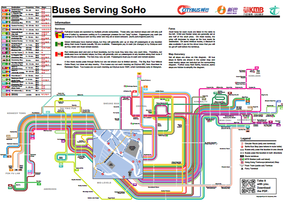
SoHo Bus Routes Diagram
A spider map is designed to show transit routes that depart from a single location. It is primarily designed to be a visual display for pedestrians to view as they leave a train and look for the correct bus for their destination. Transport for London uses these maps extensively to show buses serving individual neighborhoods. Peter Dunn also made an excellent variation for one street in Washington, D.C.
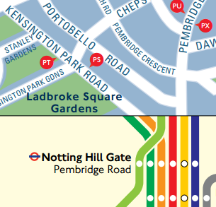
Peter's work made me think that Hong Kong might be a good place to implement spider maps like these. Although commuters may not need to look at a map to figure out where they are going, Hong Kong residents often take public transportation to reach parts of town that they do not know well. In addition, visitors may take public buses to reach certain destinations (e.g. Sai Kung, Southern District, or Lantau Island). Right now, the MTR labels station exits that are near bus stops, but there is rarely any indication of which routes pass by each exit.
Hong Kong has a complex network of public bus routes. There are five different companies [1,2,3,4,5] operating full-sized buses and both red and green minibuses added to the mix. The map that Peter Dunn made benefited from the very straight streets of Washington, DC; unfortunately, Hong Kong has a maze of curvy roads (many of them one-way only). A prototype was necessary to see how all the pieces might work together. I created a spider map for the area near my home in SoHo, so friends and family could use it.
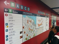
I would love to see a map like this made for each MTR station and posted on the wall. It would fill in an important information gap for passengers.
- MTR System Map (for showing which lines to follow to another station)
- Station Layout (for showing how to find shops and services within an individual station)
- Street/Location Map (for choosing the right exit if you are walking nearby)
- Spider Map/Bus Route Diagram (for choosing the right bus stop and route number if you need to travel far away from any MTR station)
If you like the map I made, feel free to print it out and use it. If you would like to see more, consider asking the MTR [web form, Facebook] or the Transport Department to study the idea.