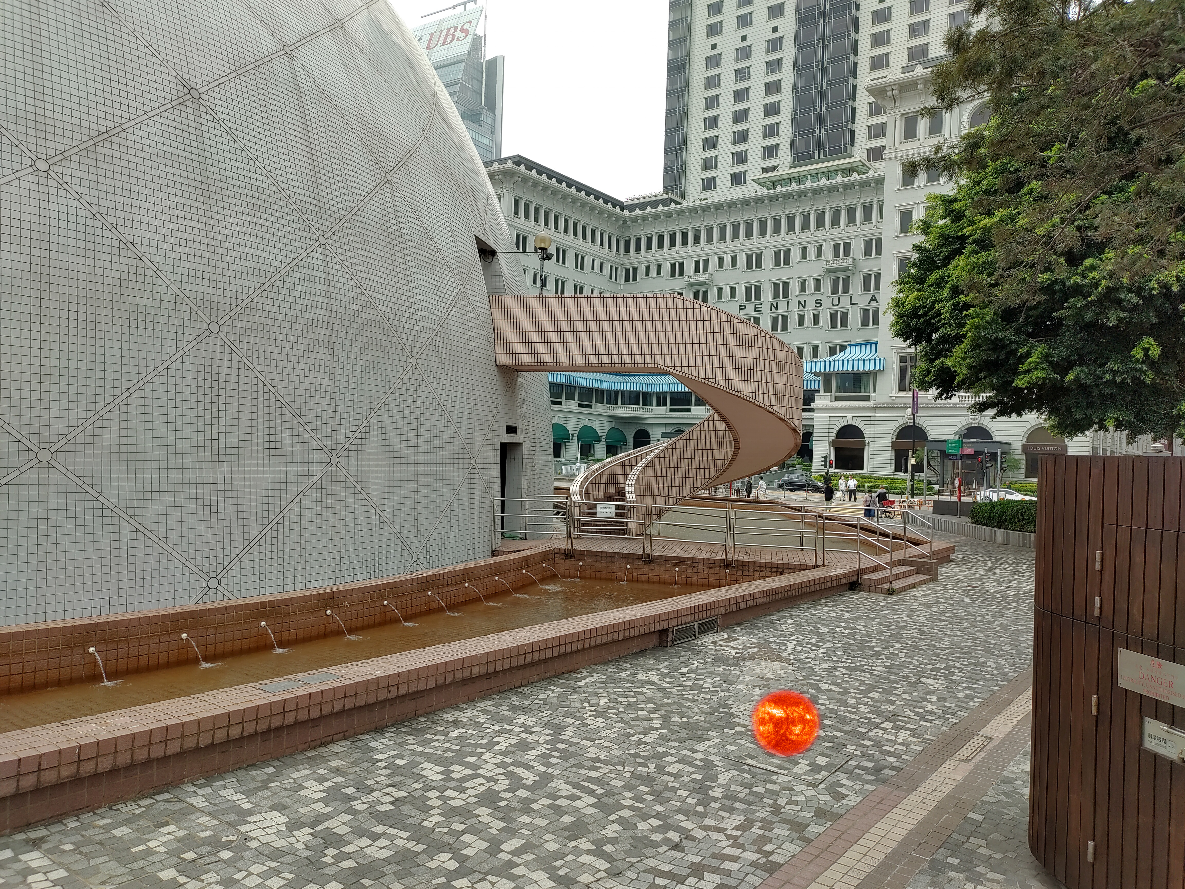
Nathan Road Model Solar System
My daughter seems to share my enthusiasm for maps, so I have made a few with her in mind. This one was an opportunity to think about the scale of outer space while Hong Kong's museums were all closed during the COVID-19 pandemic. I thought Nathan Road would be a great location for a scale model of the solar system, given that it is the longest relatively-straight street in Hong Kong and it has appropriate landmarks on its opposite ends: the space museum and Boundary Street (named for the edge of the colony from 1860-1898).
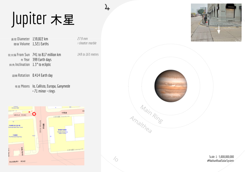
Matching this to the distance from the Sun to the heliopause gives a ratio of about 5 billion to one, reducing the sun to an oversized basketball. Rather than make a single map, I prepared worksheets that identify the location of each planet within the model and picture them at the proper scale. This makes for a fun outing of finding each location and taking out the card to talk about each one. It also keeps the planets within a reasonable walk - Pluto's average orbit is just inside of Jordan Road. Proxima Centauri, for comparison, is another 8,000 km away, nearing the North Pole.