Mao Kun Map Explorer
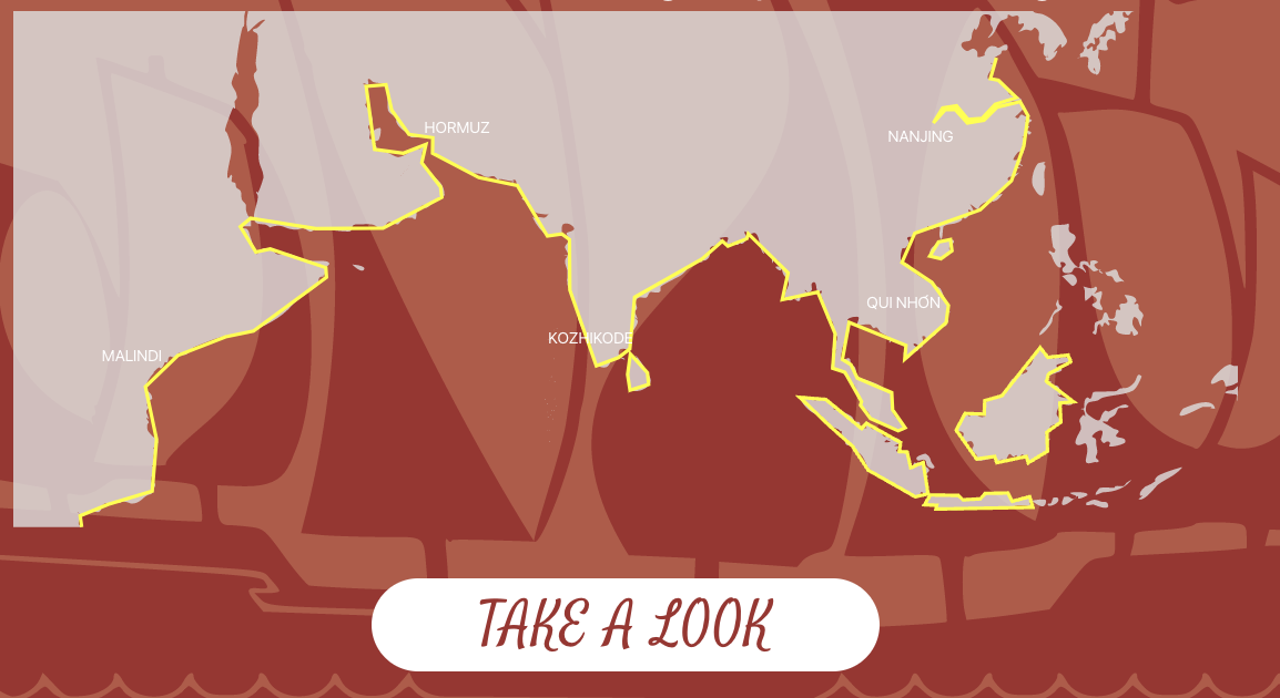
The Mao Kun map is the oldest Chinese document showing a large part of the world outside China. It is largely based on the voyages of Zheng He during the Ming Dynasty. As an intersection between history, cartography, and my current home, Hong Kong, I am fascinated by the map, but it is very difficult to use. The map was originally printed on 18 sheets of paper, read right to left from Nanjing to Hormuz. I decided to build a website for the map once I discovered a copy made in image tiles, ready for digital mapping.
I created a map editing tool in React.js and Leaflet.js. I advertised it in various online communities interested in Chinese history, in order to crowd-source the transcription and translation of the map. Volunteers click on a map label, then enter its text, translation, and (if known) modern name in a small form. In this way, all 551 plotted locations were transcribed, along with a few dozen long strings of navigation instructions. I researched many historical references to identify as many locations as possible, including latitude and longitude of each point.
With this data compiled, I generated a geoJSON file with all the details to plot on both the Mao Kun map and a modern projection of the globe. In the "explore" version of the website, these maps are presented one above the other. Dragging the Mao Kun map causes the modern map to automatically pan toward the equivalent view. Clicking on a marker in one map highlights its twin in the other. Each marker links to Wikipedia articles related to the place in question.
At the top, a colorful mini-map shows the entire Mao Kun map at once, with colors corresponding to the borders of modern provinces and nations.